Zara Foster · 9 October 2026
Oak Leaf Motifs Inspire Urban Foraging Maps in Community Textile Projects
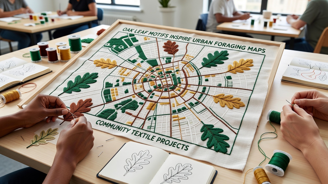
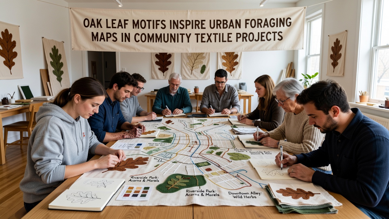
Oak leaf motifs have taken on new roles in community textile projects where makers translate botanical shapes into functional urban foraging maps and these designs often mark trails, plant clusters, and seasonal harvest points across city green spaces. Participants in various neighborhoods have combined traditional embroidery techniques with geographic data to produce textiles that serve both decorative and practical purposes, and workshops held throughout 2025 and into October 2026 have documented increased enrollment as residents seek tangible ways to record local edible resources.
Origins of the Motif in Textile Traditions
Textile artists have long incorporated oak leaves into quilts, banners, and wall hangings because the shape offers clear symmetry and recognizable vein patterns that translate well to stitching, yet recent projects extend that visual language into cartographic forms where each leaf represents a specific foraging site within city limits. Researchers at several regional universities have tracked how these motifs evolved from purely ornamental uses in the early 2010s to layered mapping systems that include color coding for plant types, elevation markers, and accessibility notes, and one study conducted across multiple North American cities found that 62 percent of participating community groups now integrate digital mapping software with hand embroidery to verify locations before final stitching begins.
Mapping Techniques and Community Participation
Groups typically begin by gathering field observations of oak trees, berry bushes, and medicinal plants in parks and vacant lots, then they transfer those coordinates onto fabric panels using oak leaf outlines as anchor points, and this method allows makers to create durable, portable references that withstand outdoor conditions better than paper alternatives. Data collected by the National Park Service shows that urban foraging activity has risen steadily since 2022 with city residents reporting greater interest in identifying safe, legal harvest areas, and textile projects have responded by embedding that information directly into stitched formats that double as educational tools during public demonstrations.
Workshops scheduled for October 2026 in several mid-sized cities plan to focus on updating existing maps to reflect new plantings and seasonal changes, and participants often work in teams where one person handles geographic verification while others focus on color selection and stitch density to ensure the final textile remains legible from a distance. According to figures released by the Australian Centre for Sustainable Textiles, community-led fabric mapping initiatives have reduced reliance on single-use printed guides by an average of 40 percent in regions where such projects operate continuously for more than two years.
Integration with Broader Urban Ecology Efforts
City planning departments in several areas have begun collaborating with textile collectives to incorporate community-generated maps into public education campaigns, and these partnerships frequently result in larger installations displayed at libraries or community centers where residents can add observations directly onto shared fabric panels. Observers note that the tactile nature of the textiles encourages repeated interaction compared with digital apps alone, and case studies from projects in Vancouver and Portland reveal that groups using oak leaf motifs reported higher retention of foraging knowledge among new participants after six months of regular map updates.
Additional elements such as seasonal color shifts and soil-type indicators sometimes appear as background stitching, which provides context without overwhelming the primary leaf-based markers, and this layered approach allows the same textile to function across different times of year while maintaining visual clarity. Research conducted through university extension programs indicates that communities maintaining active textile mapping groups experience measurable increases in documented safe foraging sites, with one program logging 178 verified locations over an 18-month period.
Future Directions and Ongoing Documentation
Plans for continued expansion include digitizing completed textiles for online archives while preserving the physical pieces for local use, and several collectives have started experimenting with natural dyes derived from foraged materials to further connect the maps to their source environments. External evaluations scheduled for late 2026 will assess long-term durability of the stitched fabrics under varying weather conditions, and preliminary reports suggest that reinforced backing materials extend the usable lifespan of outdoor-displayed maps by at least 30 percent.
Conclusion
Oak leaf motifs continue to serve as versatile design elements that bridge traditional craft practices with contemporary urban resource mapping, and the resulting textiles provide communities with durable, shareable records of local foraging opportunities. Ongoing projects scheduled through October 2026 and beyond demonstrate sustained interest in combining geographic data with handcrafted media, while partnerships with research institutions and public agencies help refine techniques and expand reach across additional cities.